

The Basics
Salem Ranger District
1301 South Main
Salem, MO 65560
Phone: (573) 729-6656
Fax: (573) 729-2867
Potosi/Fredericktown Ranger Districts
10019 West State Highway 8
Potosi, MO 63664
Phone: (573) 438-5427
Fax: (573) 438-2633
About the Salem/Potosi Ranger Districts
With a combined 375,000+ acres, the Salem-Potosi Ranger Districts of the Mark Twain NF offer plenty of room to explore and enjoy the Missouri outdoors.
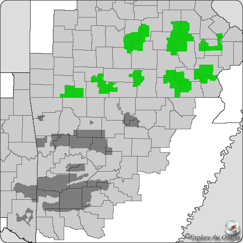
The Salem RD area sits on the Salem Plateau of the Ozark Highlands, and encompases portions of Crawford, Dent, Iron, Reynolds and Shannon counties. This area is characterized by deeply dissected hills, areas of horozintal-bedrock, and numerous examples of karst topography, including caves, sinkholes and natural springs. The area is also rich in biological diversity, including many species that are only found in this area of the Ozarks. Typical uplands oak-hickory forests and oak-pine forests dominate the landscape.
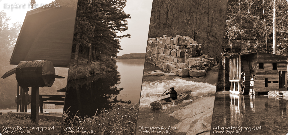
Two sections of the Ozark Trail pass through the Salem RD. They are the Blair Creek Section and the Karkaghne Section. The Salem RD is also home to Sutton BLuff Recreation Area, a very popular off-road section for ATV and dirtbike riders.
The Potosi RD area offers more karst topography, including many spring fed streams and rivers. Two of these include Curtois and Huzzah Creeks, popular Ozarks floating streams, much loved by canoeists for their clear waters and solitude.
A portion of the Ozark Trail also passes through the Potosi RD, and offers many miles for hikers and backpackers alike. The section of Ozark Trail along the Berryman Trail is also open to mountain bikers. The trail also connects to the Bell Mountain Wilderness Area, with numerous miles of additional trails within its 9,000+ acres.
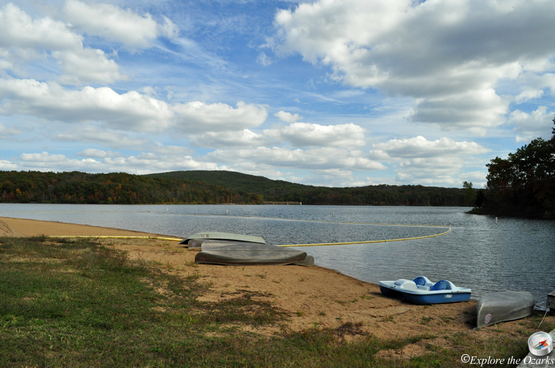
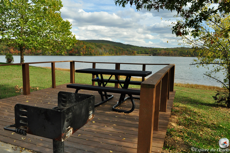
Also within the Potosi RD is Council Bluff Lake, which is the largest lake within the Mark Twain National Forest. Council Bluff Lake Rec Area is a well developed and much-used area of the forest. It offers a sandy swimming beach, drinking water, restrooms, and a developed campground. A 12-mile moderate hiking and mountain biking trail circles the 440-acre lake.
*Currently, there are so many more features and areas within the Salem/Potosi RD than I have had time to photograph, gather information for, and list here. As soon as new information become available, and I am able to gather pictures, I will post those new areas and features here.*
Features & Facilities
- Berryman Trailhead Campground
- Brazil Creek Campground
- Council Bluff Lake/Wild Boar Ridge Campground
- Hazel Creek Campground
- Little Scotia Campground
- Loggers Lake Recreation Area
- Red Bluff Recreation Area
- Sutton Bluff Campground
- Bell Mountain Wilderness Area Trails
- Berryman Trail
- Council Bluff Lake Loop
- Loggers Lake Loop
- Red Bluff Trail
- Sutton Bluff ATV & Motorcycle Area
- Council Bluff Lake
- Loggers Lake
- Sutton Bluff ATV & Motorcycle Area
- Bell Mountain Wilderness
Campgrounds
Trails
Swimming Holes
Offroad/ATV Areas
Wilderness Areas