


The Basics
- Height: cascades
- GPS: N34 25.297, W93 55.125
- USGS Quad: Big Fork
- Distance: ¼ mile
- Difficulty: Easy Hike
- Location: Ouachita National Forest
- Ranger District: Caddo/Womble
- Region: Arkansas River Valley & Ouachita Mountains
Details & Directions
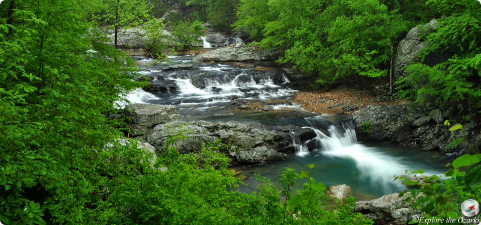
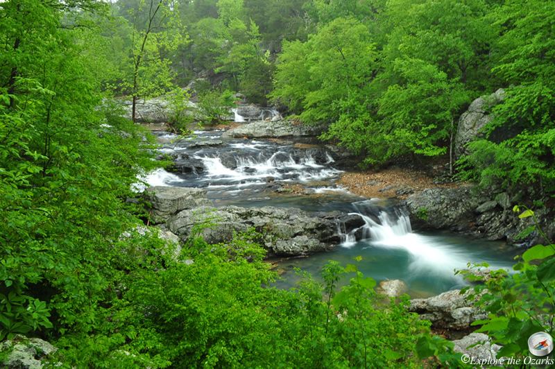
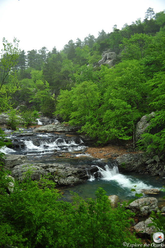
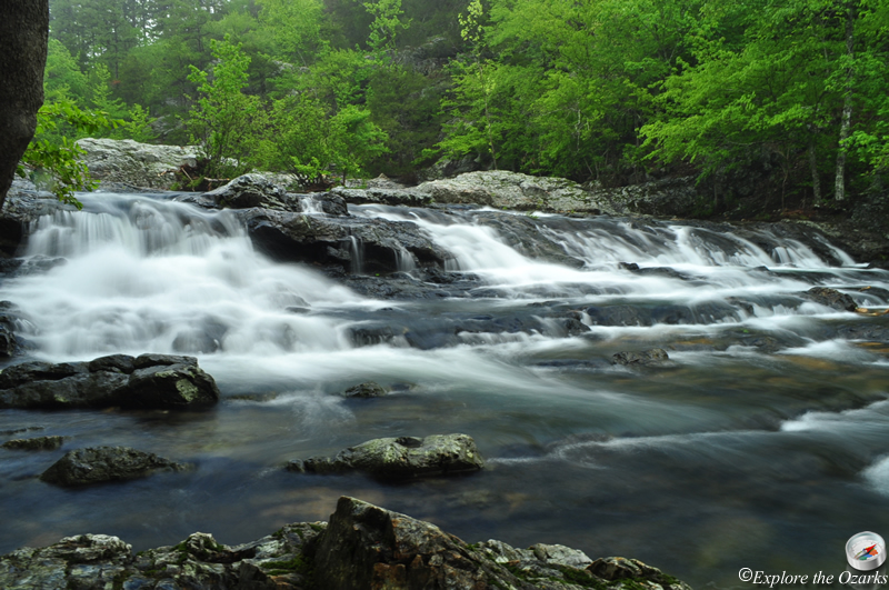
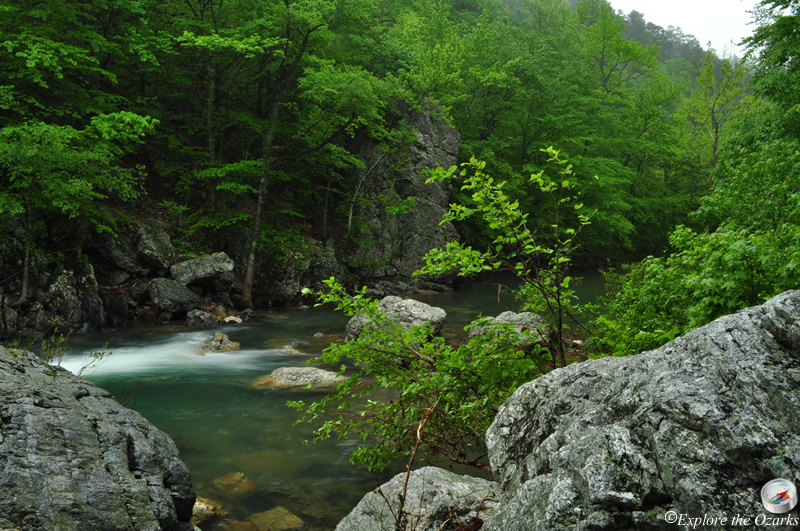
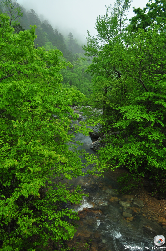
This beautiful area and cascade is located deep within the Ouachita National Forest, and is definitely worth the trip. There is a picnic area located here at the parking area, and access to the Little Missouri Trail, which follows the Little Missouri River, can also be found. In fact, a short hike down this trail leads to the falls viewing area.
From Langley: (Langley is west of Glenwood, on AR Hwy 84 which is off of AR Hwy 70) Travel 6 miles down AR Hwy 369 to the Albert Pike Recreation Area. Going straight through the campground, the road will turn to gravel and become FR#73. Follow this another 3 miles, then Turn Left onto FR#43. Go 4.3 miles to the intersection with FR#25. From here, you can continue Straight 1.4 miles, and Park along the side of the road; Crooked Creek Falls will be just down and to your Right. Or, from this same intersection, you can get to Little Missouri Falls by Turning Left onto FR#25, travel 0.7 miles, then Turn Left at the sign into the picnic area.
From Norman: Take AR Hwy 8 west for 12.7 miles, then Turn Left onto FR#43. Go 3.3 miles and Park along the side of the road; Crooked Creek Falls will be just down to your Left. To get to Little Missouri Falls from here, continue another 1.4 miles and Turn Right onto FR#25, then Turn Left after 0.7 miles at the sign into the picnic area.