Photo Gallery

Locator Map
Cherry Bend Trailhead
The Basics
Cherry Bend Trailhead/Parking
AR Highway 23
Cass, AR
GPS: N35 44.597, W93 48.692
Phone: (479) 754-2864 (Pleasant Hill District Office)
Closest Towns: Altus, Ozark, St Paul
Directions:Cherry Bend is located on AR Hwy 23 (Pig Trail Scenic Byway), approx. 5 miles North of Cass, or approx. 5.5 miles South of Brashears.
About Cherry Bend
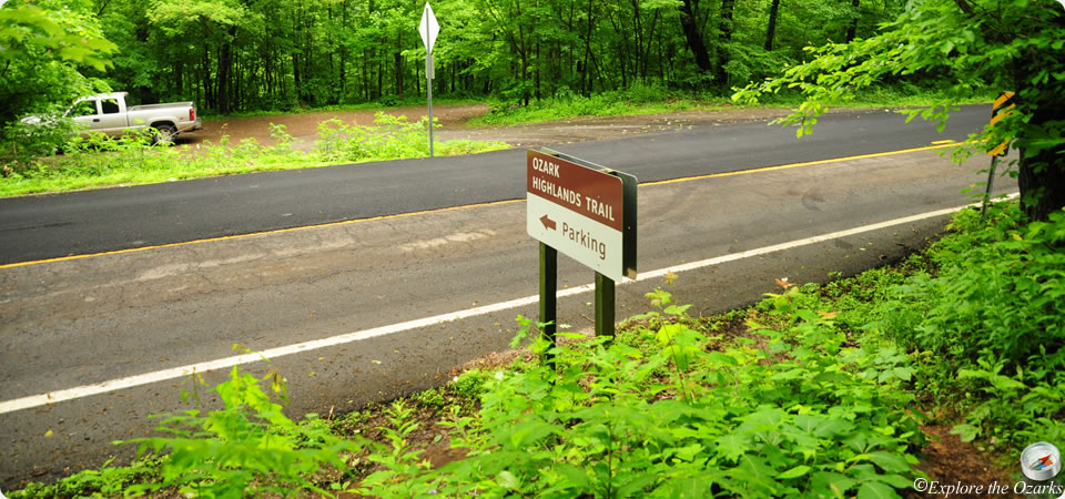
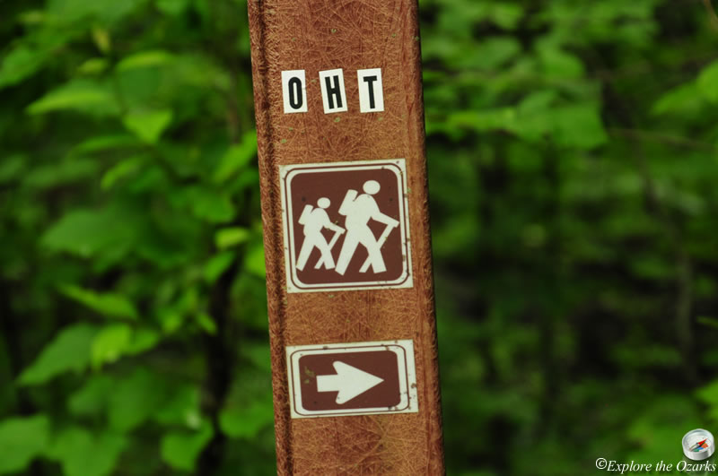
The Cherry Bend Trailhead and Parking Area provides access to the Ozark Highlands Trail just south of where the trail crosses the Pig Trail Scenic Byway (AR Hwy 23). The parking area is located on the East side of Hwy 23, and a short spur trail takes off across the highway to connect with the OHT.
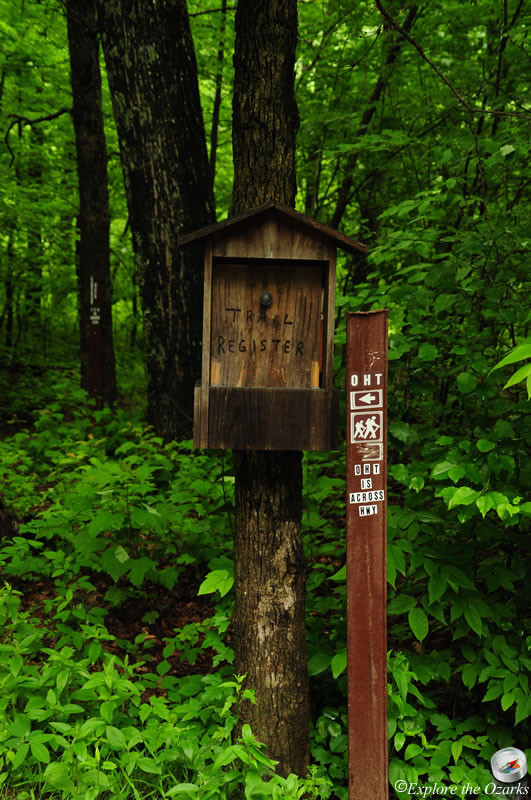
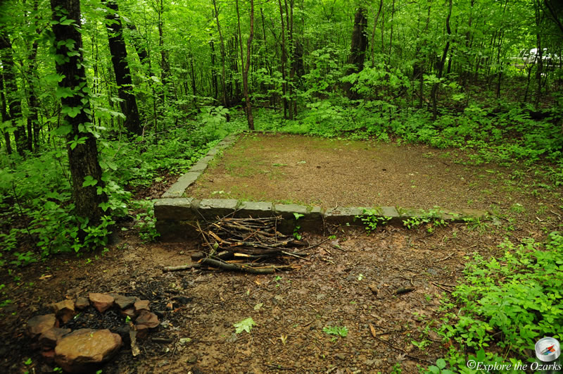
Just north of the parking lot, behind the informatin board and trail register, are two small, level tent camping pads that would provide a good night's stop while hiking along the OHT.
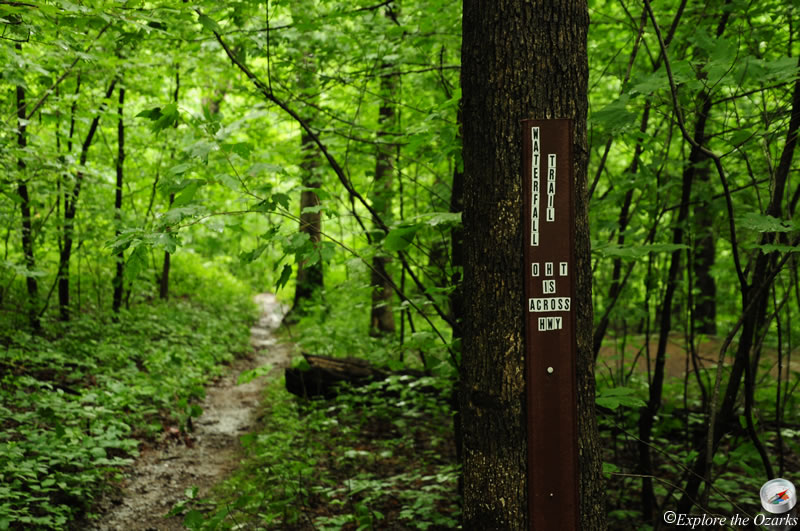
The Cherry Bend Trailhead can also be used as an access point to view a couple of waterfalls down in the creek bottom below, to the southeast. These are Murray Falls and Senyard Falls.
What's Nearby
Parks & Nature
Trails
Redding-Spy Rock Loop
Camping
Redding Campground
Wolf Pen Campground
Lodging
Local Eateries
Gear & Supplies
Other Attractions
High Bank Twins
Towns & Cities