
Lover's Leap Trail
- The Basics
- Type: Hiking
- Length: 1.3 miles Loop
- Difficulty: Moderate
- Time: 1 hour
- Requirements: None
- Description
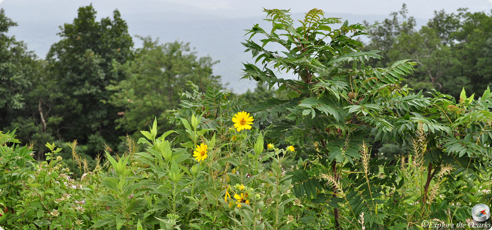
- The beauty of Rich Mountain is its breathtaking views of the Ouachita Mountains. Many views are often compared to those of the Smoky Mountains, with similar heavy fog and mixed pine/hardwood forests. You will find these views and more along the Lover's Leap trail. The main feature of this trail is an overlook on a rocky bluff with panoramic views of the surrounding Ouachitas.
- Additional Info
- Camping: No
- Water: No water on trail
- Trail Head(s): Near the lodge
- Trail Markings:
- Pets Allowed:
- Recommended Season:
Ouachita National Recreation Trail
- The Basics
- Type: Hiking (Hiking, Backpacking)
- Length: Approx 2 miles One Way (223 miles One Way)
- Difficulty: Moderate (Easy - Strenuous)
- Time: 1-2 hours for section in park
- Requirements: None
- Description
- This 223 mile National Recreation multi-use trail extends from Pinnacle Mountain State Park near Little Rock, Arkansas, to Talimena State Park near Talihina, Oklahoma. Only about 2 miles of the trail run through the park. Most of the rest of the trail is located in the Ouachita National Forests of Arkansas and Oklahoma. Just inside and outside of the park, the trail runs along the top of Winding Stair and Rich Mountains, the highest portions of the trail.
- Additional Info
- Camping: Not allowed along trail inside park boundaries; allowed within the Ouachita National Forest
- Water: No water on trail
- Trail Head(s): Near the park lodge; (Talimena State Park, OK; Pinnacle Mtn State Park, AR)
- Trail Markings:
- Pets Allowed:
- Recommended Season: Fall, Winter, Spring
Reservoir Trail
- The Basics
- Type: Hiking
- Length: 2/3 mile Loop
- Difficulty: Moderate
- Time: ½ hour
- Requirements: None
- Description
- Beginning at the stairs just south of the lodge, the Reservoir trail travels 1/3 of a mile down the hill to an old stone reservoir. The reservoir was part of the original hotels water system. Just up the hill from the reservoir is a spring that was said to have curative powers.
- Additional Info
- Camping: No
- Water: No water on trail
- Trail Head(s):
- Trail Markings:
- Pets Allowed:
- Recommended Season:
Spring Trail
- The Basics
- Type: Hiking
- Length: ½ mile One-Way
- Difficulty: Easy
- Time: ½ hour
- Requirements: None
- Description
- Beginning behind the amphitheater stage, this trail leads about 100 yards to a spring. The spring was a favorite gathering place for early settlers to the mountain. The trail then coutinues about 1/2 mile past the spring towards Hwy 88, across from the campground. You can return to the park by using the same trail, or simply crossing the road.
- Additional Info
- Camping: No
- Water: No water on trail
- Trail Head(s): Behind Amphitheater
- Trail Markings:
- Pets Allowed:
- Recommended Season: