


The Basics
Grand Gulf State Park
Route 3 Box 3554
Thayer, MO 65791
Phone: (417) 264-7100
Email: moparks@dnr.mo.gov
Directions: From Thayer: Travel south on Hwy 19 to Hwy W, then turn right. Hwy W ends at the park.
About Grand Gulf
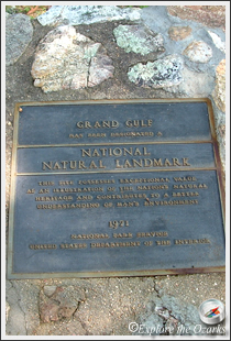
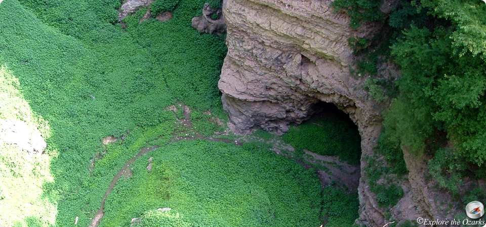
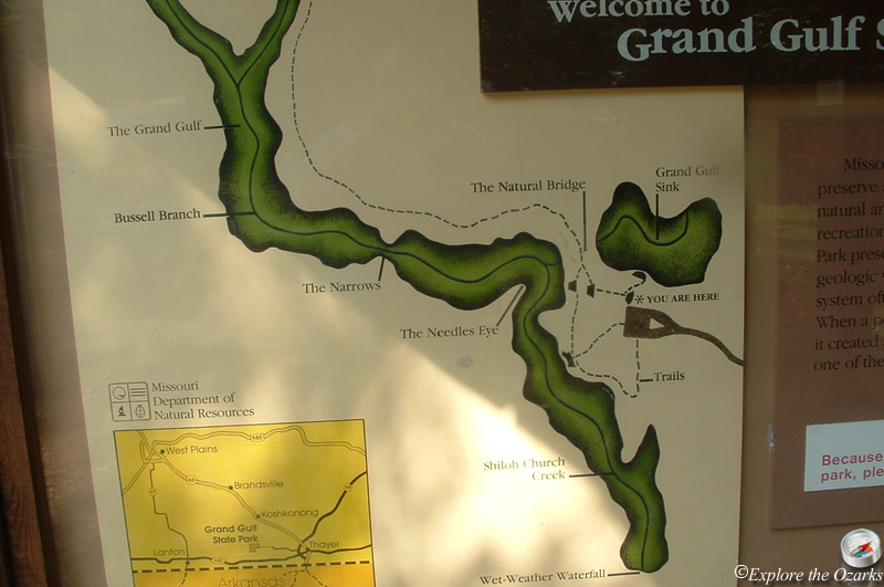
Also referred to as "Missouri's Little Grand Canyon", Grand Gulf is the result of an ancient, partially collapsed cave system. This creates a natural bridge and a deep canyon, with walls up to 130 feet high. The "Gulf" stretches for over a mile, with the parks 321 acres preserving most of the natural wonder.
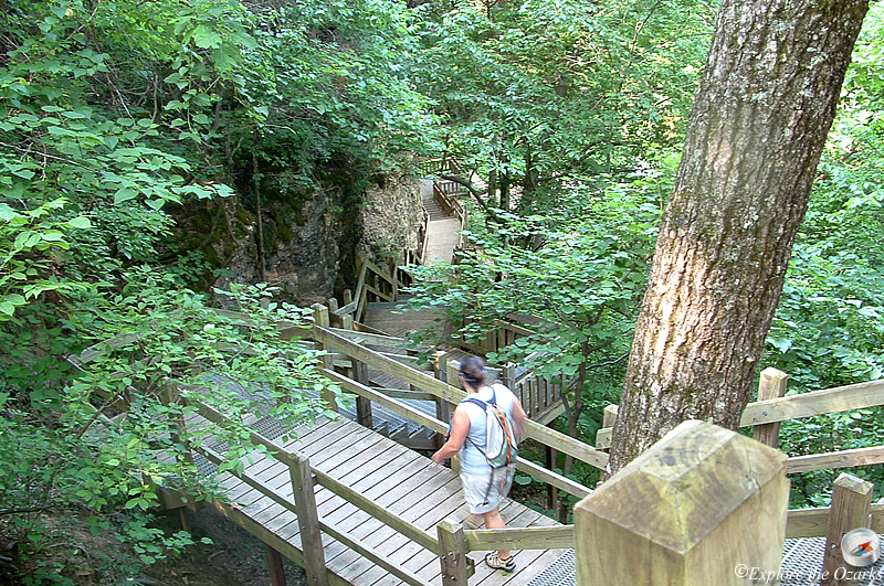
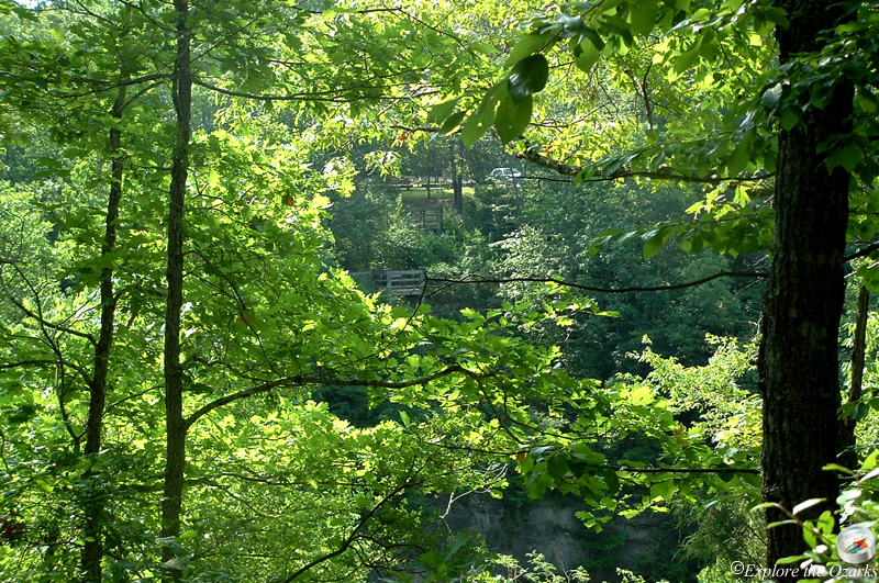
A boardwalk and nature trails allow visitors access to the natural bridge, and provide unique views down into the canyon. Outdoor exhibits are available to tell visitors the story of Grand Gulf and how it was formed. They also identify some of the plant and animal life found in the park.
Bussell Branch, which flows through the gulf, drains an area of about 25 sq miles. As water empties into the branch, it flows into the canyon, through the natural bridge, then onto the other side of the open chasm. From there it flows to the lower end of the chasm, entering the remains of the underground cave system. Traveling about 9 miles underground, the water re-emerges at Mammoth Spring State Park in Arkansas. Flowing as much as 9 million gallons of water per hour, Mammoth Spring receives part of its supply from Grand Gulf.
Picnic tables scattered throughout the park also add to the enjoyment of the park, and help make this National Landmark a great place for the family to visit.
Features & Facilities
Observation Decks | Picnic Area/Tables | Collapsed Cave | Natural Bridge
Activities Available
What's Nearby
Parks & Nature
Mammoth Spring State Park
Mark Twain National Forest
Vanderhoef Memorial State Forest
Trails
Mark Twain National Forest
Camping
Mark Twain National Forest
Lodging
Local Eateries
Gear & Supplies
Other Attractions
Towns & Cities